Effects of vegetation dynamics on the silting rate and the availability of water in Makhazine dam (Morocco)
Authors
O. BASSAIRATE, M. CHIKHAOUI, M. NAIMI, M. SABIR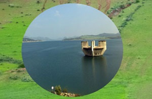
Key Information
Journal
Published in Vol. 9 No. 4 (2021) of Moroccan Journal of Agricultural and Veterinary Sciences.
Multidisciplinary journal that publishes original research articles and literature reviews in the fields of agriculture, agronomy, rural engineering, topography, forestry, horticulture, food, nutrition, animal husbandry and veterinary science (online-ISSN: 2550-4401, print-ISSN: 2028-991X). Indexed by DOAJ, Google Scholar, Articles DOAJ, Mirabelle, ROAD, WorldCat
About the Journal
Abstract
This paper describes the D-RUSLE model (Dynamic Revised Universal Soil Loss), a modified version of classic RUSLE, which takes into account the variability of rain erosivity and land cover, to provide a more precise estimate of the soil potential erosion. In order to precisely model the potential soil erosion rate at the scale of the Loukkos watershed (~1619 ha), we carried out a spatio-temporal monitoring of rain erosivity and vegetation dynamics for two periods (1999-2008) and (2008-2013). In particular, we used time series of NDVI, derived from satellite multi temporal data to calculate C factor of land cover. By integrating C factor estimated in this manner into D-RUSLE model, we estimated in a detailed and reliable way the potential soil loss and the long term seasonal variations of terrestrial cover. The results show that mean specific degradation in Loukkos watershed is 22.56 t/ha/yr. for the first period (1999-2008) and 40.58 t/ha/yr. for the second period (2008-2013), with a delivery rate (SDR) of 22.19 %. They also highlight that the amount of sediments delivered to the dam reservoir is regarded as high compared to the bathymetric value observed of 20.05 t/ha/yr. and 38.44 t/ha/yr., respectively for the first and the second period.
Keywords: Siltation, Delivery Rate, Modeling, D-RUSLE, Remote Sensing, Vegetation Dynamics.
References
Details
License

Revue Marocaine des Sciences Agronomiques et Vétérinaires est mis à disposition selon les termes de la licence Creative Commons Attribution - Pas d’Utilisation Commerciale - Partage dans les Mêmes Conditions 4.0 International.
Fondé(e) sur une œuvre à www.agrimaroc.org.
Les autorisations au-delà du champ de cette licence peuvent être obtenues à www.agrimaroc.org.